
OUR WORK
Through active collaboration with partners in the maritime and marine sciences communities, BayQuest creates mission-specific projects and programs to study San Francisco Bay wildlife ecology while offering valuable data to help affect a sustainable future.
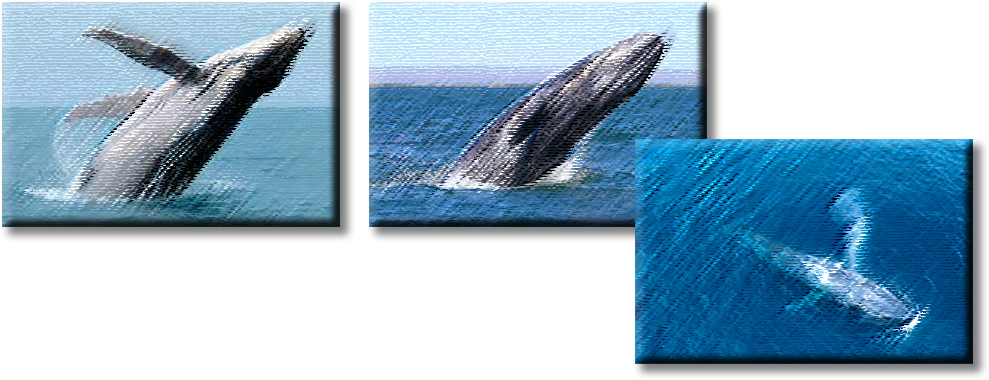
Whale Monitoring and Protection
BayQuest will deploy a specially-equipped patrol vessel to count, identify, photograph and monitor whale movements in this region. Sightings will be broadcasted to passing vessels and USCG Vessel Traffic Service. The BayQuest vessel and crew will strive to maintain safe, continuous vigil until the whale has, at minimum, cleared the High Traffic Shipping/Ferry lanes. During each whale encounter, the crew will display flashing lights and the universally-recognized WhaleWise Caution Flag to further signify to other vessels that a whale is in the vicinity.
Observations and data collection points including headcount, species type, observed behaviors, mapping and photographs will be documented and uploaded to public access sites in real time.
Whale/Mammal Entanglement Response
BayQuest has initiated the process of becoming a member of NOAA Fisheries’ Stranding and Entanglement Response Networks and will offer logistical support as needed for qualified organizations and trained first responders.
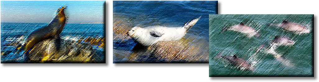
Monitoring Marine Life Populations
On-the-water vigils will also entail monitoring and documenting observations of other marine wildlife who make the waters of the San Francisco Bay home. Sea lions, harbor seals, dolphins and harbor porpoise populations and behaviors are key indicators of the conditions and health of the bay. The BayQuest vessel will make regular spot rounds in areas where these mammals tend to congregate.
Observations and data collection include photographs, behaviors, evidence of injury or illness and headcount. Data will be shared and available in both quarterly reports and on the BayQuest organization website.
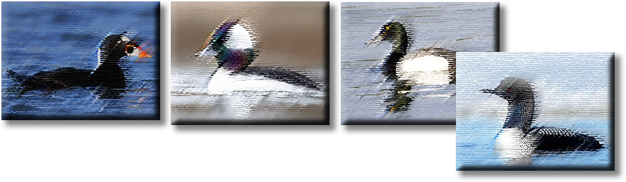
Monitoring Migratory Bird Populations
Bird activity is another key indicator of effects of climate change on San Francisco Bay. The annual spawning activity of smelt and anchovy attracts both residential and migratory birds to the San Francisco Bay as a vital stopover along the Great Pacific Flyway. When the food source decreases, so too do the bird populations.
During this peak period between November and February, the BayQuest vessel will strive to monitor and document bird activity including species type, approximate count, date, location and time. Data will be shared with USGS as part of their annual “Christmas Count” efforts.
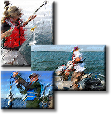
Water Sampling and Testing
BayQuest will offer vessel support for water testing agencies tasked with sampling San Francisco Bay water quality for the presence of carbon dioxide, mercury and other industrial contaminants. On site testing of water temperature and salinity will also be conducted.